


- Distance and Time required: 6,5 km | 3.0 h
- Elevation gain: 350mt
- Difficulty: Medium
- Starting Point: Parking at Tempio Internazionale del Donatore in Via San Francesco a Valdobbiadene (Pianezze)
- Short description: From Pianezze, we follow the (well-marked) nature trail through historic roads, woods, mountain paths, and flowering meadows. Magnificent views over the Treviso plain and the Mount Grappa Massif
- Stroller/Wheelchair accessible: No

The walk
Gemini ha dettoTaking advantage of a beautiful sunny day after endless cold and rainy ones—and especially since the kids wouldn't be home until 4:30 PM—Evelina and I decided to tackle a mountain trail that might have been a bit too much for the whole troop together. We headed toward Pianezze, just below the peak of Monte Cesen, to hike the Sentiero dell'Acquedotto e delle Prese.
We parked the car in the large lot in front of the Tempio Internazionale dei Donatori di Sangue and grabbed some breakfast at the nearby Bar Restaurant Stella Alpina. Once we were well-fueled... Evelina felt a little guilty because the kids weren't there with us to enjoy a pastry (that's a mother’s heart for you).
 Bar Ristorante Stella Alpina
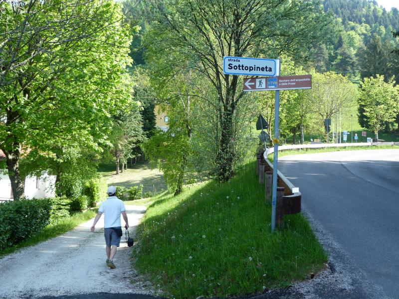 Strada Sottopineta
It's time to hit the trail! Walking down the paved road for a bit, we pick up the Strada Sottopineta on our right. We spot the sign marking the start of the nature trail we'll be following today. It’s been a long time since we’ve been out in the mountains, and we’re really soaking in the light breeze brushing against our faces.
We soon reach a beautiful "avenue" lined with tall pines. At a fork in the path, we head up to the right, following the signs. All around us are holiday homes, trees, flowers, and that perfect feeling of being in the right place at the right time. The sun is starting to warm up, but luckily, this first part of the walk is well-shaded.
We hit a paved stretch and then head down to the left. A wooden owl watches us with its big eyes, while just a bit further along, a waterfall has been painted onto a tree trunk right next to a stone cabin.
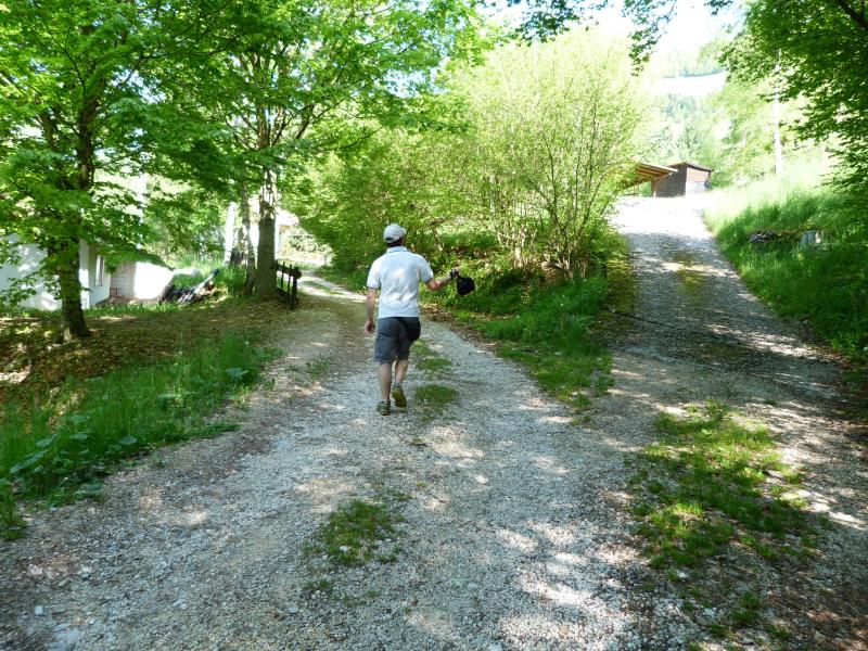 At the fork, keep left
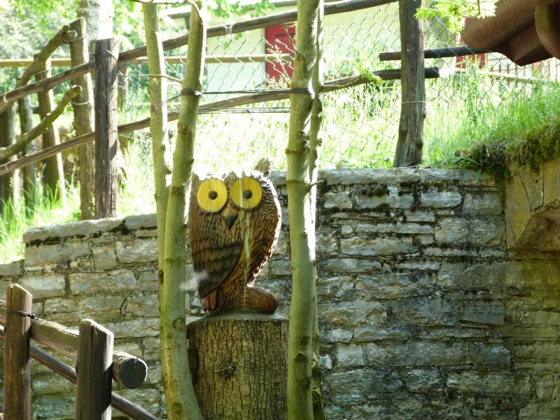 The owl is keeping watch over us
We emerge from the woods with the Mount Grappa Massif right in front of us; following the signs, we head down across a meadow along a faint, narrow trail. We reach another lovely little path with stone steps and an information board titled "Le strade delle Musse" (The Musse Roads). This part of the trail is nothing short of stunning: majestic trees soaring toward the sky and artistic roots digging into the soil, as if trying to anchor them to the earth.
Coming out of this lane, we head left at the fork (look for the classic red and white trail marker on a branch), then pick up the Nature Trail signs again and climb to the right through meadows filled with Mountain Asphodel (a typical flower of this area). To our left, views open up across the Treviso plain, the Asolo hills, and the Montello, while to our right, we can just spot Malga Barbaria peeking over the treetops above.
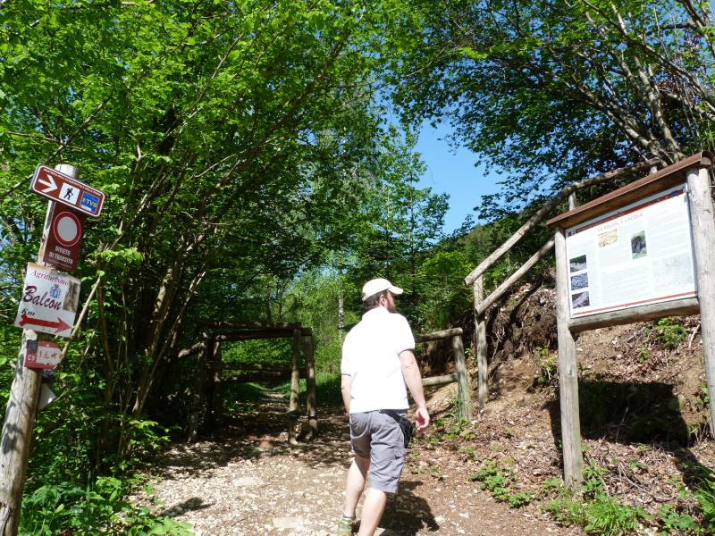 Information boards
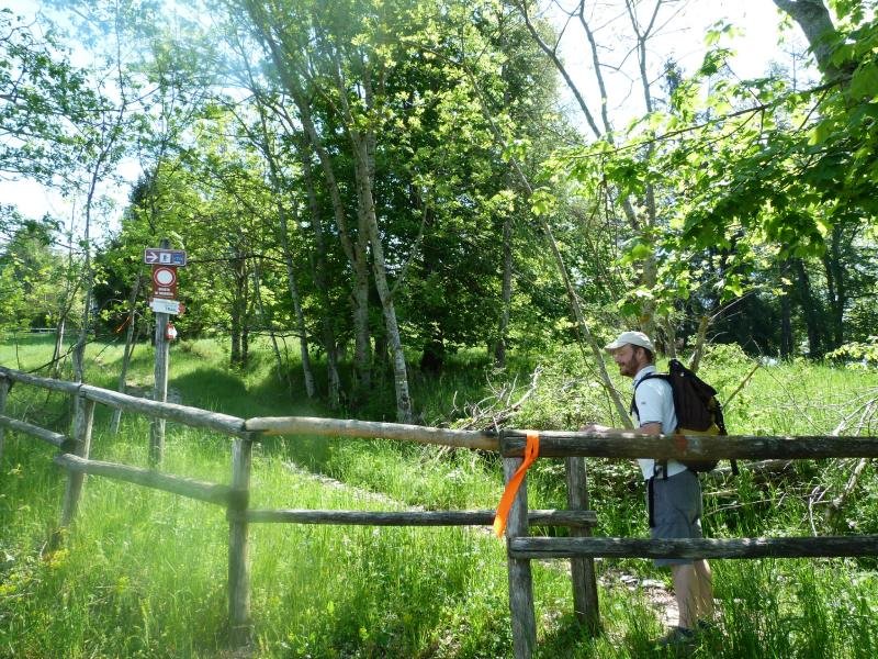
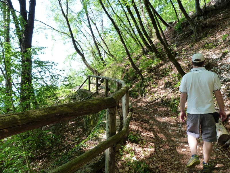 Wooden fence
We come across a new information board (The Changing Mountain) and then head back into the brush. Every now and then, there are small signs identifying the different types of trees along the way.
We cross a wooden fence and keep following the signs to the left. A bee is busy gathering pollen from a flower nearby. The woods open up as we hit a paved road. We head uphill to the right (following the C9 trail marker), and just a bit further on, we find a bench in the shade. We sit down for a quick break.
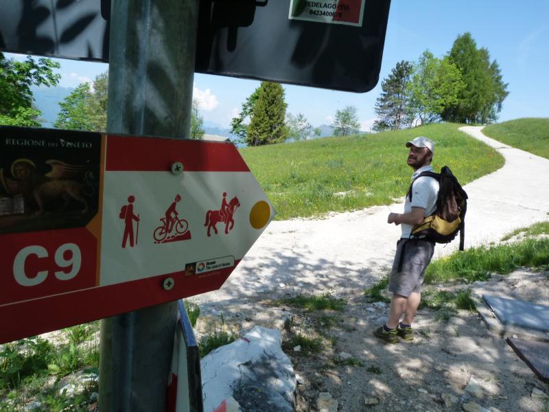 To the right along the paved road
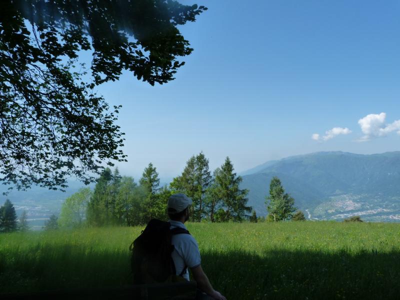 A well-deserved break
We keep climbing, zigzagging a bit between the little trails along the edge of the road and the paved path. We reach a flat spot with a view of the Malga Barbaria hilltop on our right; just a bit further on, we make a sharp turn to the left, taking the road that climbs quite steeply through the meadows. Everything around us is stunning—from the fields to the woods and the vistas—it's time to sit for a moment and just admire the scenery.
A few more steps and we're back in the shade of the woods. The climb is starting to make itself felt, even though Evelina is skipping along like a deer. The trail markers seem to vanish for a moment, but looking around, we spot the classic red-and-white signs on the rocks.
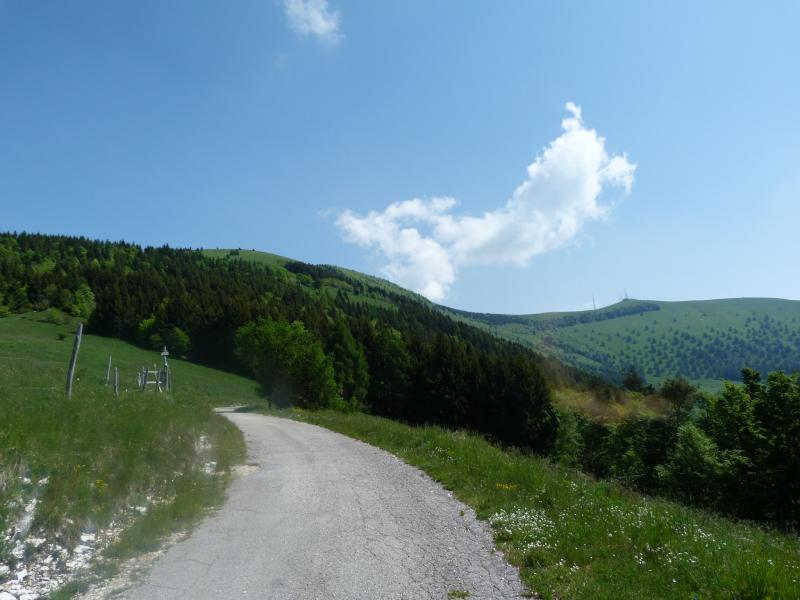 Keep attention to the path on the left
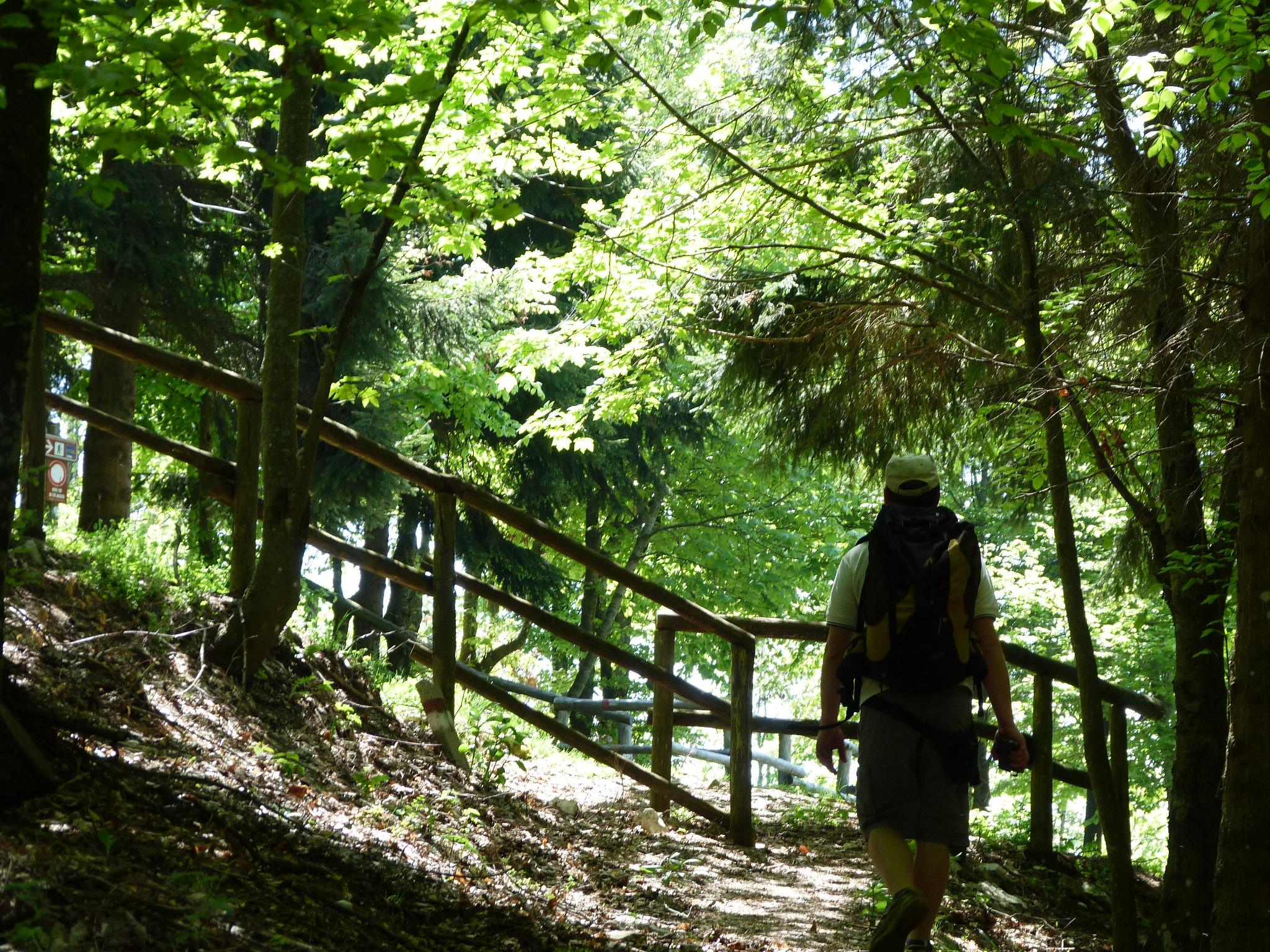 Outside the woods
We cross the paved road once again and, on the other side, jump back onto the nature trail. We pass through a wooden fence and, just a few steps further, find a bench in a panoramic spot—though unfortunately, it's right in the sun. Nearby, information board no. 7 about the "Birdlife of Monte Cesen" reassures us that we’re on the right track.
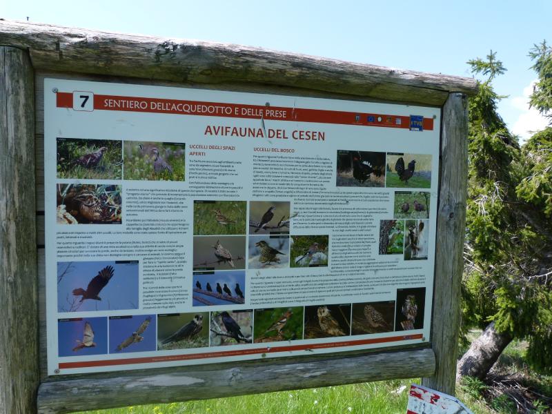 Birdlife of Monte Cesen
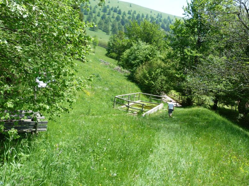 We reach the fish pond
From here, we walk downhill, first through the meadows and then back into the trees, crossing the paved road whenever necessary. We soon reach a "casera" (mountain hut) with a large beech tree. At the next fork, we head down to the right, and in no time, we are next to a pool with water and little fish. If Sebastian were here, he’d definitely be casting a fishing line.
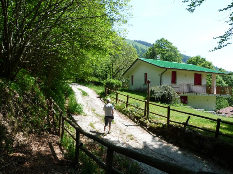 To the left, following the gravel road
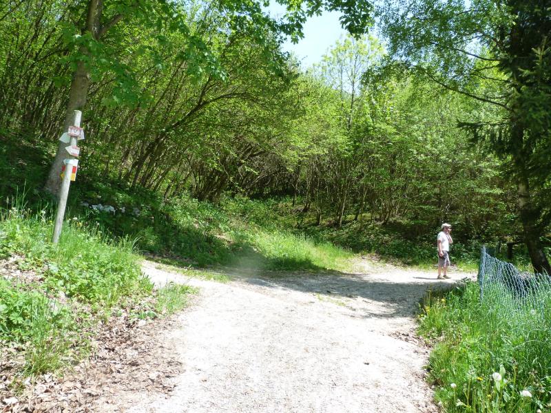 At the fork, turn right onto Mariech road
We reach a paved road with a white house right in front of us and turn left. We follow this lane (Strada Borri) until we hit the main road (Strada Mariech), and from there, we head right until we arrive back at the Tempio Internazionale dei Donatori di Sangue.
Photo Gallery




Have fun at the Treviso Prealps Adventure Park

Pianezze Avventura
Tree-top Adventure Park, Tubby Slide
Snowshoe and E-bike rentals
Tel. 0423 975690
Track Gps
What to see
Sentiero dell'Acquedotto e delle Prese is a well-marked circular nature path. Through 9 information boards, it guides hikers through the unique features of the Monte Cesen environment: the local flora, fauna, traditional houses, and the landscape.
Vistas stretching over the Treviso plain and the Mount Grappa Massif.
Tempio Internazionale del Donatore built on the very spot where, during the Great War, an Austro-Hungarian cannon battery was stationed to keep an eye on the Italian positions on the Montello and the Grappa massif.
Have fun at the Treviso Prealps Adventure Park
Pianezze Avventura
Tree-top Adventure Park, Tubby Slide
Snowshoe and E-bike rentals
Tel. 0423 975690
Refreshment Points
Fountain near the Temple
Ristorante Stella Alpina in Via Pineta 4 a Valdobbidene (Pianezze). Tel. 0423 975690
Curiosities
The word "prese" refers to the wide stretches of flowering meadows that are so typical of this mountain landscape.
- Hits: 641